
Precision Aerial Mapping Solutions
Transforming Colorado's Surveying Landscape with LiDAR Services
Transforming Colorado's Surveying Landscape with LiDAR Services

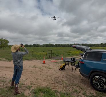
At AFE Advisor, we deliver unparalleled drone-based LiDAR services that revolutionize how surveying and engineering firms capture, analyze, and utilize topographic data across Colorado.
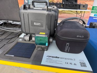
Our RTK/PPK technology paired with Propeller AeroPoint 2.1 Ground Control Points delivers survey-grade accuracy that traditional methods simply cannot match—at a fraction of the time and cost.
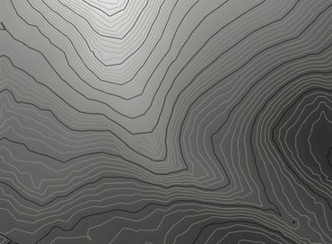
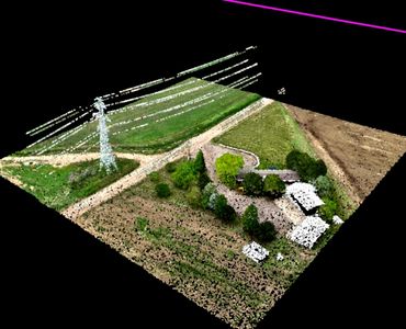
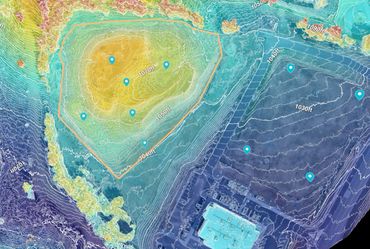
From high-resolution contours with customizable spot elevations to ASPRS classified point clouds and detailed surface models—receive your data in the exact format your workflow demands (SHP, DWG, RVT, LAS, LAZ, RCS, DEM, GeoTIFF, RCP, or OBJ).
With 22+ years of Remote Sensing and GIS experience, backed by GIS Professional and ASPRS Certified UAS Mapping Scientist credentials, your projects benefit from deep technical knowledge and proven methodologies.
Whether you need topographic mapping for urban developments in Denver, infrastructure projects in Colorado Springs, or challenging terrain in the Rockies—our teams deploy anywhere in Colorado to provide timely, consistent and reliable precision aerial mapping solutions
Capture comprehensive site data in hours, not weeks. Our efficient aerial data collection and streamlined processing workflows deliver final deliverables up to 75% faster than conventional surveying methods—allowing you to meet tight deadlines and accelerate project milestones.
Every project you commission not only delivers exceptional technical results but also creates paid job shadowing opportunities for graduates of Neurodiversity Works—our nonprofit initiative supporting neurodivergent professionals entering the geospatial industry.
We use cookies to analyze website traffic and optimize your website experience. By accepting our use of cookies, your data will be aggregated with all other user data.